


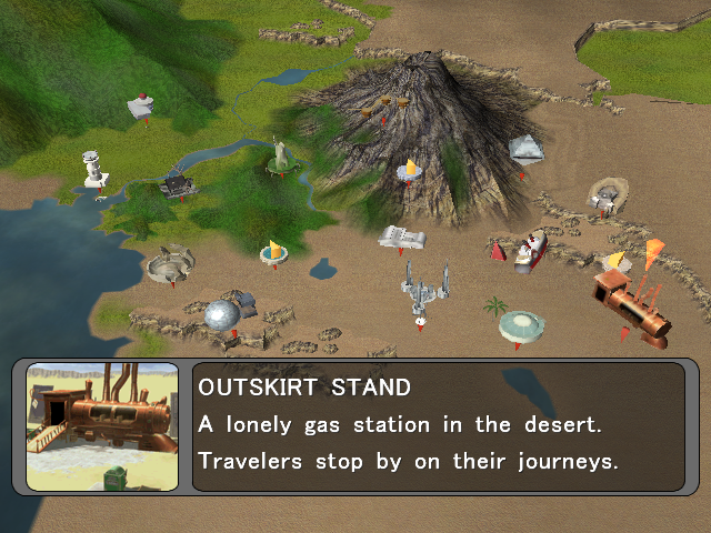
File:Orre Outskirt Stand Map.png
No higher resolution available.
Orre_Outskirt_Stand_Map.png (640 × 480 pixels, file size: 552 KB, MIME type: image/png)
| This file is from the Bulbagarden Archives. The description from its description page there is shown below. |
Summary

|
This is an in-game map of the Orre region from Pokémon XD: Gale of Darkness, with Outskirt Stand highlighted. |
Licensing:

This image is a screenshot from a Pokémon game, or substantially derived from one.
The contributor claims this to be fair use.
File history
Click on a date/time to view the file as it appeared at that time.
| Date/Time | Thumbnail | Dimensions | User | Comment | |
|---|---|---|---|---|---|
| current | 05:15, 7 June 2015 | | 640 × 480 (552 KB) | Abcboy | XD map |
| 22:46, 3 October 2009 |  | 250 × 188 (117 KB) | Soulweaver | The map to use for the location infobox on the page {{bp|Outskirt Stand}}. |
File usage
The following page uses this file:

Categories
- No categories associated with this article